This is a harmless little tale about estimating distances, and also impulsive and obligatory new discoveries. It is a story told by bike, and so it is the same as every story told by bike. You know a lot, but you don’t know much of anything. No matter how many times you take on that story it is always different.

I rode kinda hard-ish yesterday. That’s qualified, on account of it being me, and my being old and not perfectly fit and never fast to begin with. Hard-ish is also, then, a relative term. Perhaps especially so. With that, I decided that, today, I would take an easy ride. I had a route in mind and I find that when you start thinking about roads and turns like that, you should just go do the thing straightaway. If you don’t, your mind just keeps adding to the thing.
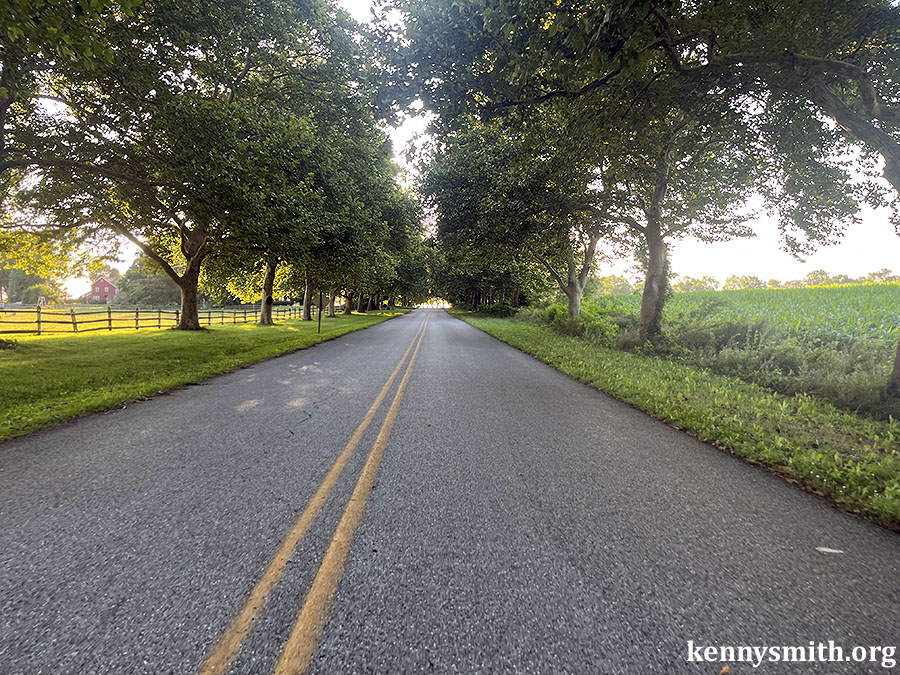
And, today, that route involved going the opposite way on the first part of one of the regular routes. For some reason that is always just intriguing enough. So I went this way instead of that. I went by the sheep and the park and then into town and over and around and then down a busy highway — one which has a nice healthy shoulder — until it dropped into a river that I know is there because of the way the terrain falls, and what a map tells me, but I have never, ever seen.
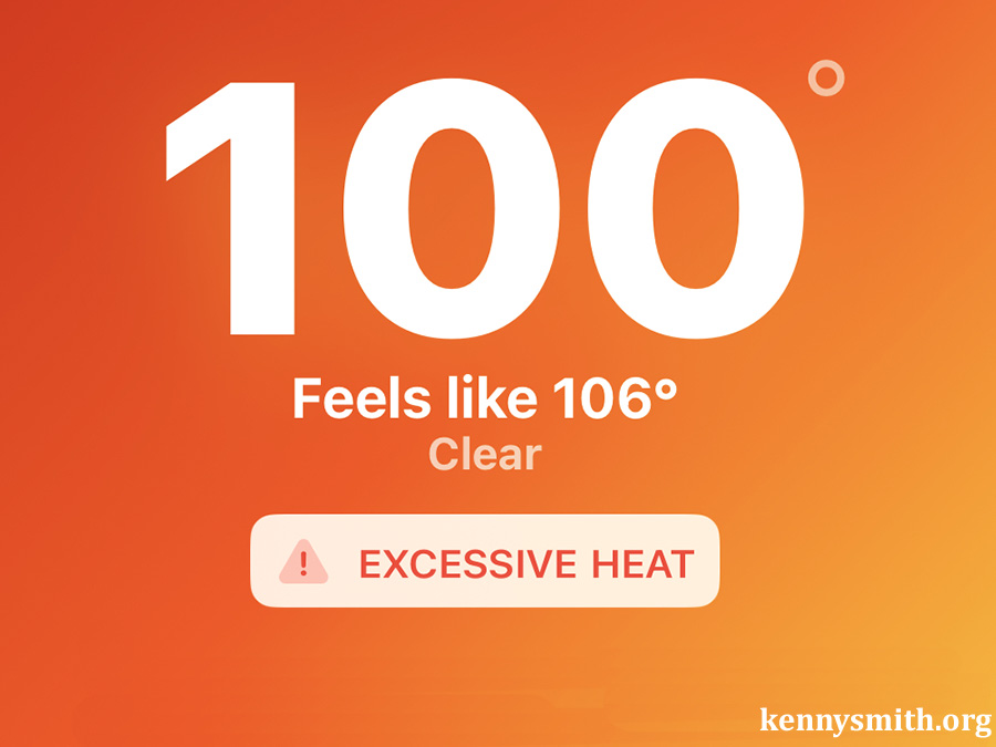
I turned left, knowing I could go down a bit and then turn right, making an elaborate second rectangle at a right angle to the first. I figured that’d give me about 15 miles and a casual hour outside on a nice day. The heat had broke and it was sunny and in the mid-80s.
As I was working my way into doing that, though, it occurred to me that instead of turning right here, I could go just a couple of miles farther down the road, and then turn, and enjoy one of my favorite roads around here.
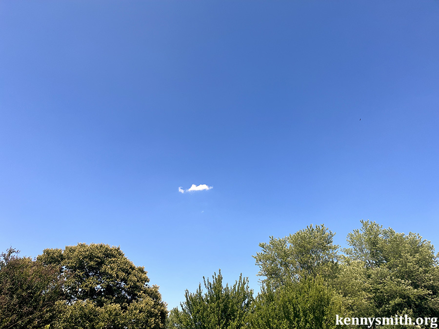
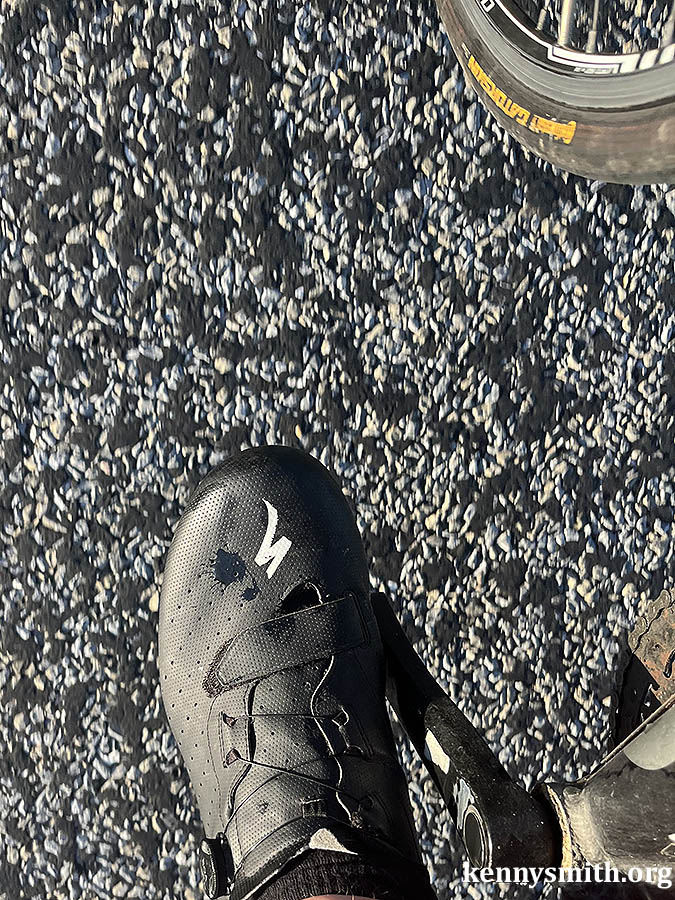
It’s so quite out there that you can think of anything, stare at anything, get lost in any little moment, like, say, a drop of water on your shoe.
Then this other thing happened. I got to the road that would turn back home. It’s a standard intersection, two roads running into one another in the farmland. Stop signs beside you, a flashing yellow light above you. And as I rolled up to it I realized that this is not a T-intersection. The road I am on, in fact, continues straight through the stop sign. Today I should turn right and head home. Usually I am either turning to go down this road from whence I have just come, or passing from my right to my left. I had never noticed that road that was just now ahead of me.
It only takes a second to ask yourself the question, and less time to answer it.
Where does that go?
There’s only one way to know.
So instead of turning right to go home, which was my plan, or turn left and do a familiar route, I went on this newly discovered road. Because it is predominantly farmland, a lot of this is a sort of a long grid. I know where the roads on either side wind up headed this northwesterly direction, but not this particular road. Maybe it’ll be different!
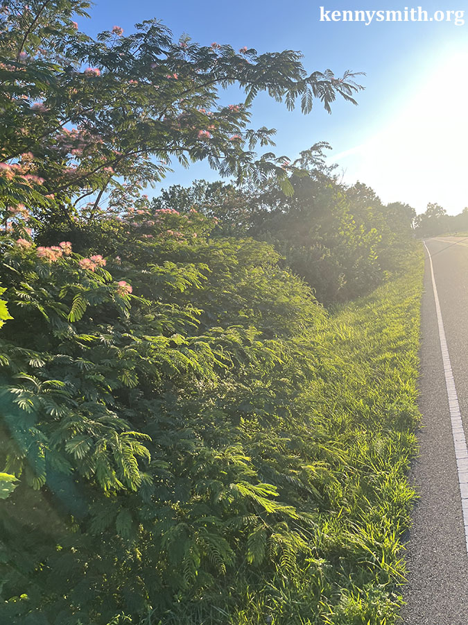
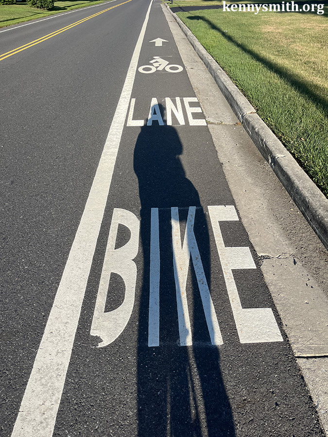
Such is the imagination, and it is seldom unrewarded. And, look, if you are on a new road you see new things. And maybe you figure, seeing new things, you decide you might write about them. And maybe you’ll need to grab your phone and snap a quick photo or two. And if you do that enough you’re sure to fumble the thing. And you just might take photos without even realizing it.
Eventually, you’ll get one that is artistically minimalist.
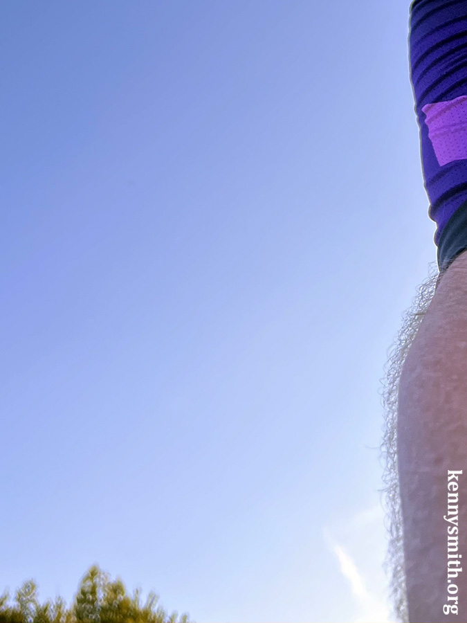
Or is it minimally artistic? Either way.
Anyway, the road meandered for about 2.5 miles, eventually running into one of those other roads I know, at a place that was a little too busy for the day. So I turned around, which allowed me a second opportunity to photograph this little church.
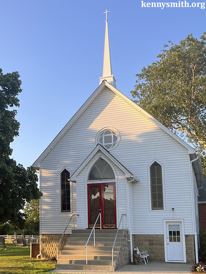
It is a Methodist church and it gets five stars on Google and why are we reviewing churches again?
It was 7:49 p.m. when I took that photograph and I had 10 miles to get home, which I did, riding easily, and before dark. Gotta love those long summer days, which allow my estimated 15-mile ride to turn into a casual 30-mile experience with two spur-of-the-moment decisions which, ultimately, gave the whole ride its character.
On a bigger scale, this is the kind of riding I want to do.