Without hesitation I can say that the highlight of today was updating my university password. Passphrase, actually. This must be done every six months — if the system remembers it. (It doesn’t always seem to remember it.) But, without fail, in those times I must update it, I always find myself in a struggle. You log in to things several times a day and your fingers get into habits. And then, of course, it is time to update the password. Passphrase. Except I’ve noticed the last two times that the requirements have continued to grow expansive.
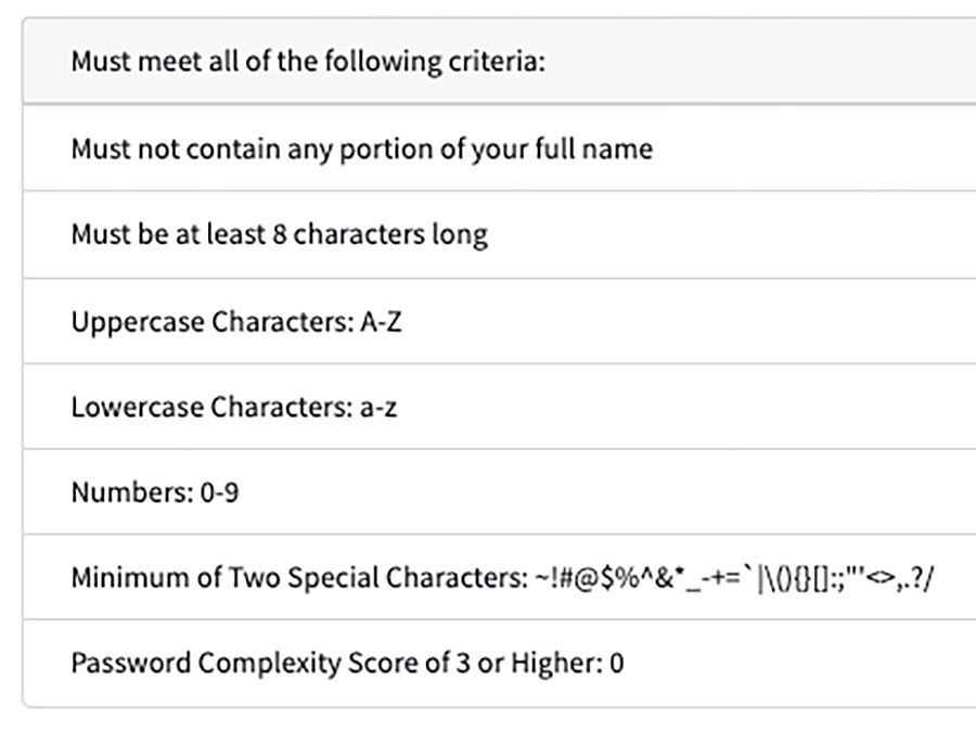
I use a sentence, and my now expired passphrase included a special character and a number. Now I have to make sure the new passphrase checks all of those boxes.
Hilariously, the form field where you input this does not show the characters you are typing, just the little privacy dots, as if my books or my cats are going to steal the new password. Passphrase. So you better get it right. Of course, it must be confirmed. And you better write this down. So I have it written down in a place where only I will find it. Because security.
We all remember the Instructure debacle of 2026, after all.
And now I will have to retrain my fingers to type this new phrase. Hopefully I’ll be in shape before I have to do this in front of students. Nothing builds confidence in the classroom like messing that up three times in a row.
Also, when you have completed the not-at-all challenging task of designing a new passphrase and making sure you’ve met all of the criteria now involved you are encouraged to update this in the places where it needs to be updated.
Because no one remembers the Instructure debacle of 2026, after all.
It’d be nice if every place where you had to login to something had committed to the same series of special character challenges, but that’s a lot to coordinate and keep straight, of course. And all of this is just another step toward my computer having a fingerprint pad on it, at which point I will retreat to Walden.

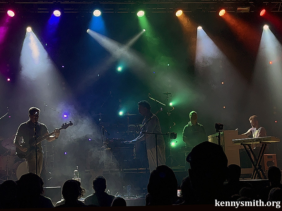
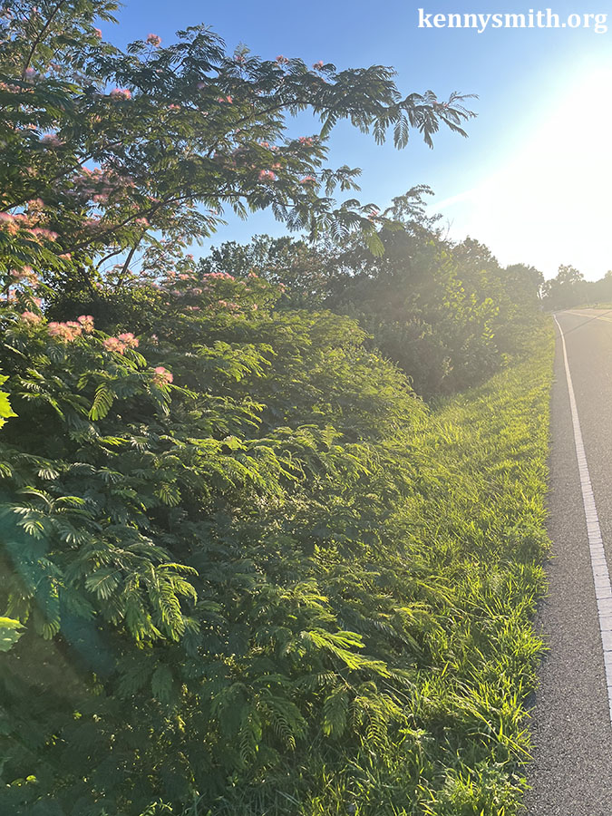
We saw another show Saturday night. I’ll give you four hints.

The second hint is that this act was at a different venue, a much larger venue. (Don’t worry, we won’t go through the naming origins this time. OK, fine, it is named after an 18th century British lawyer.)
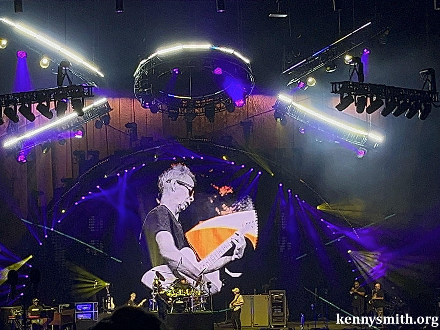
The third hint is that this band is marking the 30th anniversary of their first Grammy, which is to say they’ve been around for a while. And, in that time, they’ve cultivated and maintained quite the following.

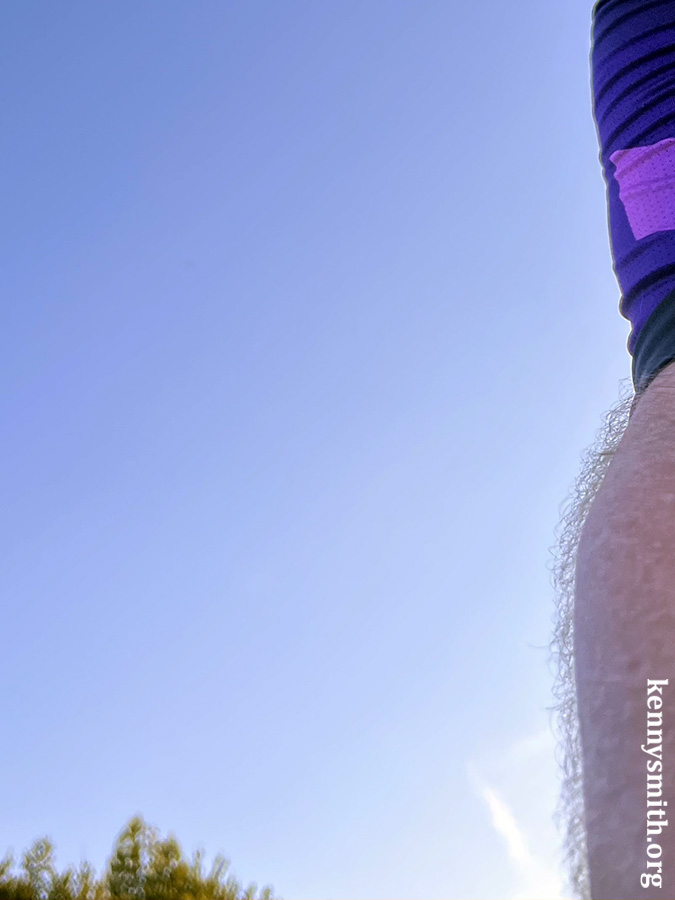
OK, final hint, if a bit in profile.

It was Dave Matthews Band, which we have seen a few years in a row now, attending with friends. All told, I think this marks the fifth or sixth time I’ve seen them over the course of their touring career. If you like them, they put on a good show. If you like jam bands, they put on a good show. If you’re just determined not to like them, you probably won’t like the show. I feel like I always come away from the show thinking the appreciation outpaced the expectation just a bit, whatever that means.
I think what it means is that I’ve seen several bands and singers more than a few times and I’ve decided there are only so many you need to see more than a few times. And, if I had to make a list, I wouldn’t put DMB on that list, but when I leave the show I find myself thinking, That was a good time. Because it is!
It isn’t that it is a surprise, but what is surprising is that they’ve built up this huge legion of concert followers over the many decades and they continue to put up shows with enough energy and fun that people keep coming back, dozens and dozens of times.
I wonder if Dave and his buddies thought about that way back when. I wonder if anyone does.
Take Guster, for example. We saw them Friday. Next year they’ll mark the 30th anniversary of the record that turned them into a regular airplay band. I know they’ll celebrate that because Friday night they mentioned that this is the 20th anniversary of a subsequent record. The threesome met in school, at Tufts. No way they sat around on campus in 1991 and said, “Man, I hope one day we’re filling stage banter with an ad lib about the region we’re touring in when we are 53 years old!”
Maybe that’s the dream. Do something you love with people you like and get to do it so long and so well that you can also pursue other things you are interested in, too. I’m certain that’s the dream, actually. But no one says that at 18. No 18-year-old has the foresight. (Shoot, I was 26 when I figured it out, and I’ve spent the years since wondering if I actually did.)
Existentialism is definitely going to be incorporated into my next password. Passphrase.